Loading

- Call Us Anytime
- 01711227465
- Opening Time
- 12 hours
- Email Us Now
- nandanickbd111@yahoo.com
Digital Survey

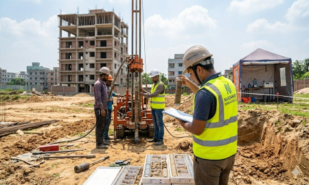
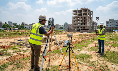
Nandanick Bangladesh Ltd. provides high‑precision digital surveying services using
advanced technologies such as planning surveys, on‑site sight verification, RTK
(Real‑Time Kinematic) GPS, and drift analysis. Our digital surveys achieve
centimeter‑level accuracy, essential for land mapping, topographic profiling,
construction layout, boundary demarcation, volumetric calculations, and GIS integration.
With 25 years of field experience across Bangladesh, we deliver reliable geospatial data
that forms the foundation of every successful infrastructure project.
- Contour Survey.
- Digital Survey.
- Plain Table Survey.
- Topographical
- Pantragraph Survey.